Tides & Currents
The Tides and Currents module for Meridian and available with NavSim PPU provides a selectable interface that displays NOAA tides and currents information for the United States and areas.
Tides
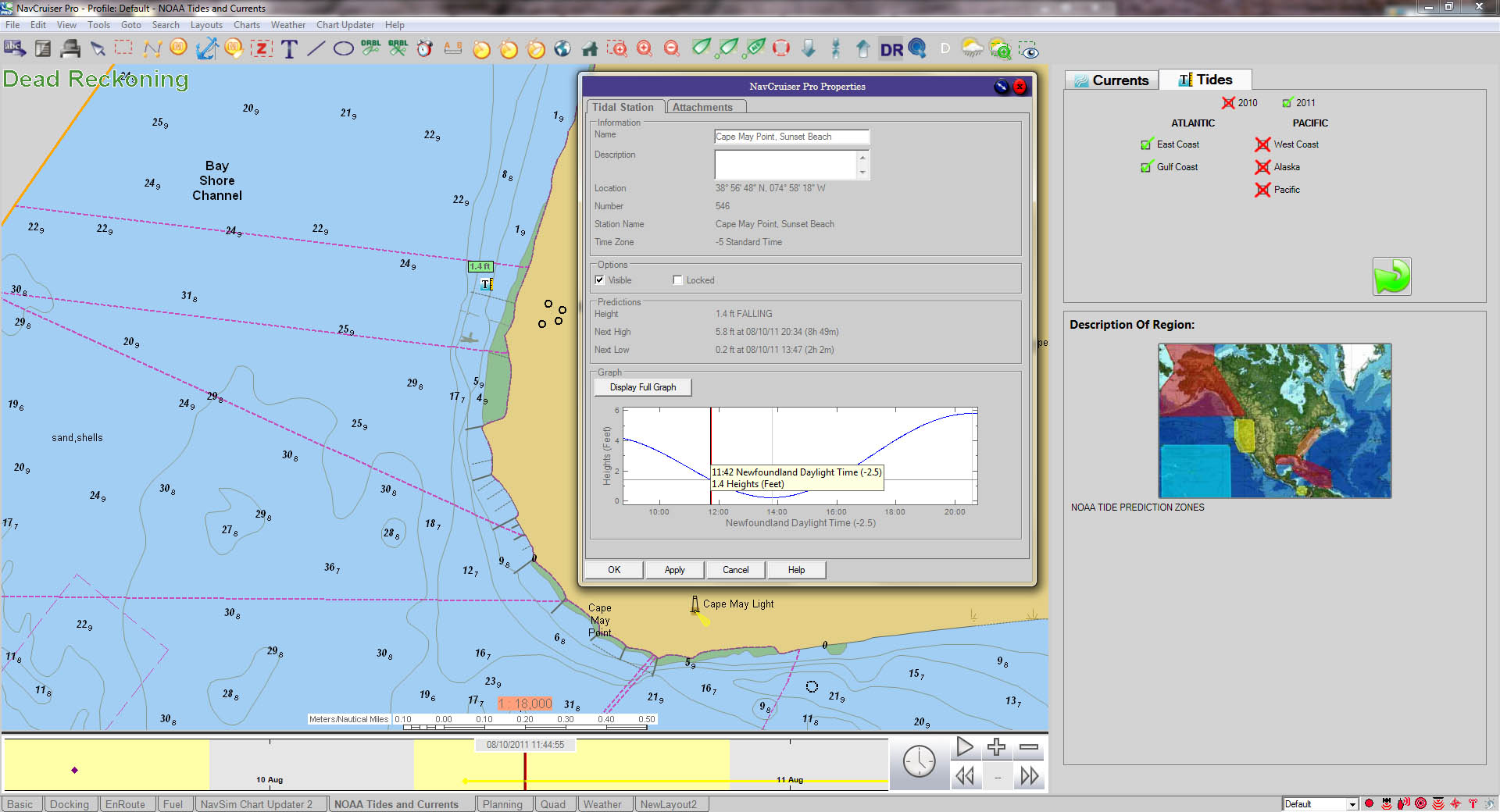
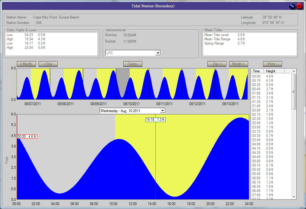
After a user has selected their region and has loaded the tidal data, graphical tide icons display on the chart. The tide icons have a numerical indicator of the tide height as well as a “T” icon depicting a ruler on the right side. Double-clicking on a tide icon displays a property page containing further information and more detailed tidal predictions.
Current Predictions
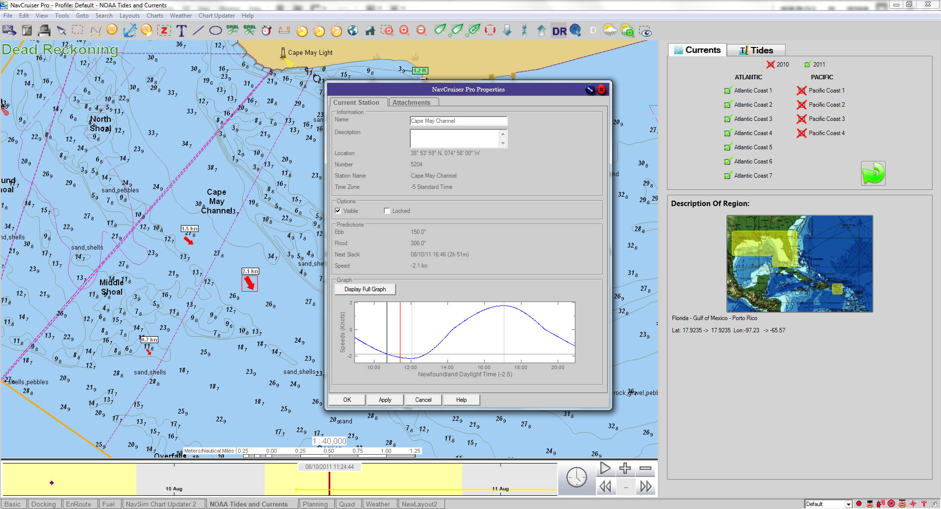
After a user has selected their region in the NOAA region and load the “Currents” data, graphical arrow indicator icons display on the cart in areas of current activity. The size of the arrow can quickly indicate the magnitude of the tide as well as direction based on the arrow direction. Further information on the current prediction is accessed from these icons to show:
- the current station properties
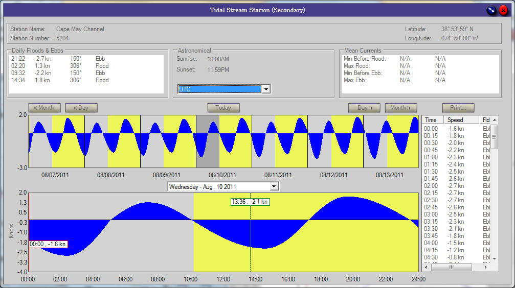
- further information on ebb/flood direction and speed
- a graphical indication of the current trend for a 24 hour period
A weekly forecast as well as further information on the current predictions can be called up from the dialog that appears.


